
On this page
Three key points
Magnitude around five; intensity eight in the centre is a different measure.
The shallow focus, ground and old homes contributed to damage.
More than 300,000 means people left homeless; dots do not represent deaths.
What does 5:23 commemorate?
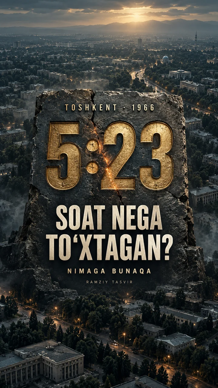
An earthquake struck Tashkent on the morning of 26 April 1966. The Courage Monument’s 5:23 commemorates that morning. The monument opened in 1976.
5:23 is the rounded time on the monument. The film does not replay an instrumental record second by second. The map uses the monument’s location, not an exact hypocentre.
Magnitude and intensity are different measures
The film gives a magnitude of around five and a central shaking intensity of eight. Magnitude describes the earthquake; intensity describes its effects at a particular place. Strong shaking lasted about 10–12 seconds.
This does not mean a magnitude-eight earthquake. Magnitude estimates differ between sources. The two illustrated instruments are not a conversion formula.
Why was the damage severe?
The focus was shallow and beneath the city centre; local ground conditions contributed to shaking effects. A 2004 engineering paper gives a focal depth of 8 km. The film compares that estimate with distances from the monument to Chorsu and Chilonzor metro stations.
Depth estimates vary. A 3–8 km statement in the 2026 paper refers to rupture length, not depth. The cross-section, waves and damage oval are explanatory schematics. The 3 and 8 km distances are rounded straight-line distances on today’s map, not seismic-wave paths.
Homes and people
Old single-storey brick and earthen houses suffered extensive damage. Walls and corners were damaged; some homes remained standing but were uninhabitable. Sources report over 2 million m² of housing damaged and more than 300,000 people left homeless.
2 million m² is housing area across the city, not the mapped oval’s area. More than 300,000 compared with an estimated 1.5 million residents is rounded to “one in five”. Orange dots represent homelessness, not fatalities; their five groups do not map home addresses.
Aftershocks and memory
More than 1,100 aftershocks were recorded by the end of 1969. Tashkent was rebuilt. The film returns to the memorial clock and the memory of that morning.
The graph is not a recorded seismogram. No precise reconstruction deadline or claim about new districts is made. This is history, not a forecast of present-day earthquake risk.
Today’s map, historical schematics
The wide map uses NASA Blue Marble, the city image uses Copernicus Sentinel-2 (4 July 2025), and places and buildings use OpenStreetMap. Historical damage zones, the house cutaway, instruments and population dots are explanatory graphics drawn by Nmaga Bunaqa.
Modern buildings are not 1966 houses or a complete building inventory. The AI-assisted cover is symbolic: its stone clock and city are not an archival photo or an exact depiction of the real monument. The scientific paper’s map has not been copied.
About the materials
NASA Blue Marble Next Generation. Contains modified Copernicus Sentinel data (2025). © OpenStreetMap contributors (ODbL).
Schematics, animation and synthesised effects: Nmaga Bunaqa. The cover is an AI-assisted symbolic illustration.
Music
Found an error?
If you find a specific error or a better source, send us the claim and its link. We will review it and date any correction on this page.
Write to us on Instagram