On this page
Three key points
The tower is named in honour of Sheikh Khalifa; there is no confirmation that the name was a condition of support.
Oil helped Dubai: it was once close to half of the economy and later fell to about one percent.
“Four risks” is a way of telling the story, not a complete economic model of Dubai’s success.
How was the tower named?
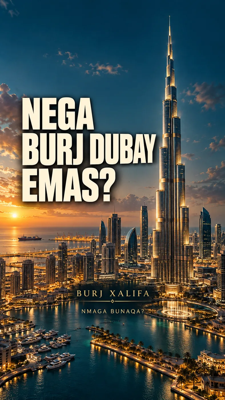
During construction the tower was called “Burj Dubai”. On 4 January 2010 it opened as “Burj Khalifa”, in honour of Sheikh Khalifa, President of the UAE and Ruler of Abu Dhabi.
There is no confirmation that the name was a condition of the 2009 support. The line “the handshake worked again” is an interpretation linking two historical events, not an official statement.
How was the union formed?
In 1968 Britain announced its plan to withdraw from the region. That year Sheikh Zayed and Sheikh Rashid agreed to unite. On 2 December 1971 six emirates formed the United Arab Emirates.
The meeting place is marked approximately on the map. The tent and the two name labels are a symbolic “handshake”, not portraits or quotations of the rulers.
How much did oil help?
Oil helped Dubai develop: it was once close to half of the economy. Later its share fell to about one percent. Most of the UAE’s oil reserves are in Abu Dhabi.
“About one percent” is a 2016 estimate, not a new measurement for today. The oil gauge in the video shows one measure — the share of Dubai’s economy — at two points in time; it is not compared with a share of reserves.
Four risks
After the pearl trade fell into crisis in the 1930s, Dubai bet on trade routes: deepening the creek, the union, a port, a free zone and an airline, and later spectacular construction.
“Four risks” is a storytelling structure. Labour, institutions and investment also played a large part in Dubai’s success. It does not mean the creek was dredged with the Kuwaiti loan alone.
2009: debt and support
In November 2009 the state-owned Dubai World asked for a standstill on its debt payments. On 14 December Abu Dhabi announced 10 billion dollars of support; three weeks later the tower opened.
The standstill was requested by Dubai World, not by the city of Dubai or Emaar. The 10 billion is the announced support; there is no claim that it covered all debts or paid for the tower. The debt bar in the video is symbolic.
Maps and imagery
The maps are based on real satellite and elevation data. Historical events are shown as schematics on today’s map.
The events of 1959–1971 appear on a 2025 map as schematics, not archival photographs. The night imagery is from 2016. Ships, planes, faces, coins, the tower drawing and the “growth” animations are explanatory. The cover is an artistic AI composition.
About the materials
Contains modified Copernicus Sentinel data (2025).
Produced using Copernicus WorldDEM™-30 © DLR e.V. 2010–2014 and © Airbus Defence and Space GmbH 2014–2018, provided under COPERNICUS by the European Union and ESA; all rights reserved.
NASA Blue Marble and Black Marble imagery — NASA Earth Observatory.
© OpenStreetMap contributors — ODbL (via geoBoundaries).
Fonts: Barlow Condensed and IBM Plex Mono — SIL OFL. Animation and sound effects: Nmaga Bunaqa.
Music
Found an error?
This page is not an official statement of the UAE or Dubai government. If you find a specific error or a better source, send us the claim and its link. We will check it and date any correction on this page.
Write to us on Instagram