On this page
Three key points
Usoy was buried that night; Sarez was evacuated and submerged months later.
Eight Charvaks compares approximate published figures, not present-day measurements.
The Termez map shows a river route; the hazard scene is conditional, not a flood prediction.
One night, two different fates
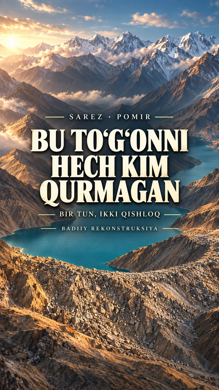
The earthquake of 18 February 1911 triggered a huge mountain landslide in the Pamirs. It buried Usoy and blocked the Murgab River. Water began to accumulate. Sarez’s residents were evacuated; their village was submerged months later as the lake rose.
The two villages did not disappear on the same night. “Were sleeping” is narrative colour for a night-time event, not a documented claim about every resident. Village locations and lights are reconstructions.
A dam nobody built
Around 2 km³ of rock blocked the river, forming the natural Usoy dam, more than 500 metres high. Sources put Lake Sarez’s volume at roughly 16–17 km³. Compared with Charvak’s capacity of about 2 km³, that is approximately eight Charvaks.
Height estimates differ: 560–600 metres. “Eight Charvaks” is a rounded comparison of published approximate volume and capacity figures, not a new measurement or a comparison of today’s water levels.
Where does the water leave?
Water seeps through the rock mass and emerges as springs on the downstream side of the dam. The springs join the river below. The lake continues to retain water.
The cutaway’s channels, rock sizes and flow speeds are explanatory schematics, not measured underground routes. Seepage does not mean that all the lake’s water drains away.
A conditional hazard and monitoring
A large slope collapse into the lake could generate a wave capable of overtopping the dam: one conditional scenario examined in the research. The World Bank completion report records installation of monitoring and early-warning equipment in December 2004.
This is not a prediction of an imminent or inevitable disaster. The video’s hazard scene is schematic; it does not calculate a wave height, arrival time or affected area. The 2004 installation record does not guarantee that every component operates today.
What does the Termez map show?
The Murgab joins the Kudara to form the Bartang. The Bartang flows into the Panj; the Panj joins the Vakhsh to form the Amu Darya, which passes Termez. The film shows this ordinary downstream river route.
This is not a claim that a flood would reach Termez. The river route is separate from the hazard scene; the Bartang section is drawn schematically.
Real terrain, a reconstructed event
The terrain uses Copernicus DEM; map bases and rivers use Natural Earth data. Heights are exaggerated by 1.12 times for readability. Villages, the landslide, lake filling, historical water levels and lights are 3D reconstructions.
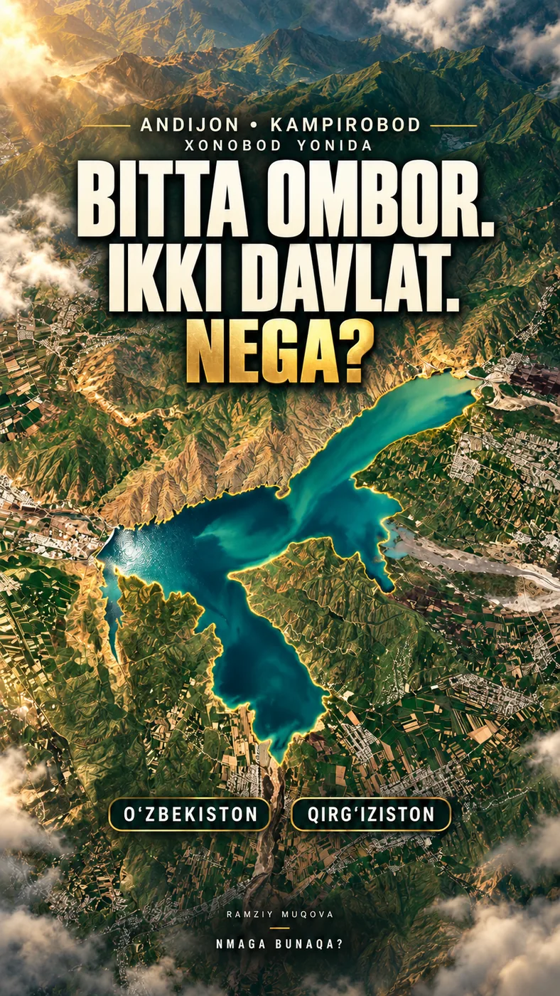
These are not documentary images from 1911 or physical simulations. People symbols do not establish a population count or evacuation route. The AI-assisted cover is an artistic reconstruction, not a precise surveyed terrain model.
About the materials
produced using Copernicus WorldDEM-30 © DLR e.V. 2010-2014 and © Airbus Defence and Space GmbH 2014-2018 provided under COPERNICUS by the European Union and ESA; all rights reserved
Natural Earth: public domain. Maps and historical transitions are simplified for explanation.
Animation and synthesised effects: Nmaga Bunaqa. The cover is an artistic reconstruction.
Found an error?
If you find a specific error or a better source, send us the claim and its link. We will review it and date any correction on this page.
Write to us on Instagram