On this page
Three key points
This is a thought experiment about all land ice melting, not a forecast.
A low basin without an ocean connection does not automatically become part of the sea.
The boundaries in the video come from our simplified calculation using NOAA terrain data.
How much water?
If the Antarctic and Greenland ice sheets melted completely, sea level could rise by many tens of metres. Mountain glaciers would add to this.
The roughly 65–66 m total describes an extreme all-land-ice scenario. It is not a near-term prediction; floating sea ice is not counted as land ice.
How did we model a water route?
We searched for low routes connected to the ocean using the NOAA ETOPO 2022 elevation model. A low basin without that connection does not flood automatically.
This is a “bathtub” model with a uniform sea-level rise. It does not model erosion, dams, crustal motion, gravity or the actual timing of water flow. Marginal results may shift by several metres.
Would it reach Uzbekistan?
Our model suggests that water could reach the Sarygamysh depression in Uzbekistan through a low route from the Caspian side. It does not mean the whole country would have a seacoast.
About 55.6 m and 65.9 m for the Aral basin are model estimates, not official forecasts. The Aral threshold is too close to draw a categorical yes-or-no conclusion.
The water in the video is animated
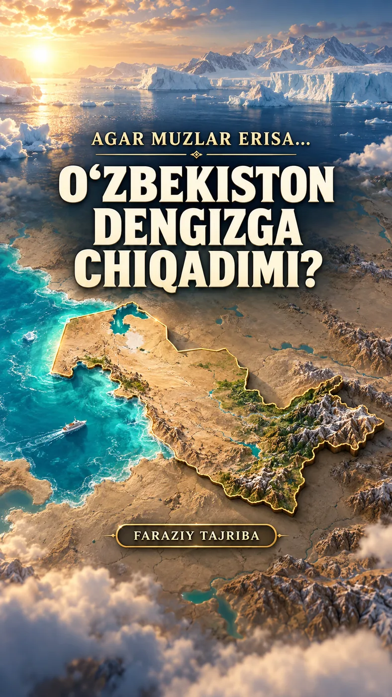
The rising water was animated over a map. People, buildings and the cover illustrate the hypothetical situation.
This is neither a physical simulation over time nor a picture of the future. The cover is a speculative illustration.
About the materials
NOAA NCEI ETOPO 2022 terrain data; Natural Earth map geometries.
Music
Found an error?
If you find a specific error or a better source, send us the claim and its link. We will review it and date any correction on this page.
Write to us on Instagram