
On this page
Three key points
A chain protected the Golden Horn entrance; Ottoman ships were moved overland into it.
Accounts disagree on the exact number of ships and their route.
This was one part of the siege; the city fell through the land walls on 29 May.
What did the chain block?
A chain closed the entrance to Constantinople’s Golden Horn harbour. It was an important part of the city’s seaward defence.
The chain, ships and water in the video are an explanatory reconstruction, not an exact engineering drawing or measurement.
Where did the ships go?
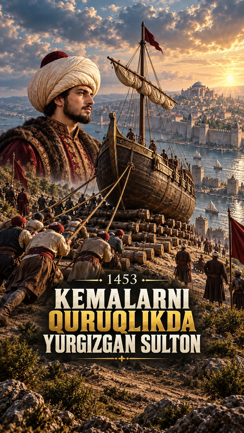
Historical accounts describe Ottoman ships being taken across land behind Galata/Pera and lowered into the Golden Horn.
“About 70 ships” is an estimate from varying accounts, not a counted inventory. The precise route is disputed. Our line on modern terrain is a diagram, not a geodetic reconstruction of the 1453 road.
Did this one move decide the siege?
Moving the ships forced the defenders to cover another direction, but the final assault on 29 May targeted the land walls.
The siege had multiple causes. The dramatic sequence should not make the ships seem like the sole reason for the outcome.
Portraits, paintings and music
Most historical paintings shown were made centuries after the events. A modern mehter performance is not an audio recording from 1453.
These are later depictions, not photographs. The catalogue music on Instagram and TikTok differs from the music-free YouTube version.
About the materials
Terrain: produced using Copernicus WorldDEM-30 © DLR e.V. 2010–2014 and © Airbus Defence and Space GmbH 2014–2018, provided under COPERNICUS by the European Union and ESA; all rights reserved. Copernicus bodies accept no liability for this derived product.
© OpenStreetMap contributors. Walls and route lines were drawn by hand for explanation.
Found an error?
If you find a specific error or a better source, send us the claim and its link. We will review it and date any correction on this page.
Write to us on Instagram