On this page
Three key points
Korea was under Japanese colonial rule until 1945.
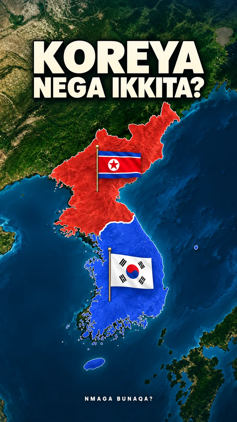
The 38th parallel began as an administrative line for accepting surrender; the political division deepened later.
The fighting stopped under a 1953 armistice, not a peace treaty.
How did the division begin?
After Japanese rule ended, Soviet and US forces accepted surrender on opposite sides of the 38th parallel. Separate political administrations followed.
The 1945 line was not identical to today’s military demarcation line. Koreans did not freely vote for the division.
How did the war spread?
North Korea launched a large-scale attack south on 25 June 1950. The front changed rapidly, involving UN and US forces and later China.
The coloured areas are broad campaign stages, not daily control maps or legally recognized international borders.
What ended in 1953?
An armistice signed on 27 July 1953 stopped the fighting and established a military demarcation line and buffer zone.
An armistice is not a peace treaty. Nor does it mean battles occur every day. South Korea was not a signatory to the armistice.
How was the map made?
The outline and background support the historical explanation. Arrows and period colours are our own animation.
The NASA background is a 2004 composite, not a satellite image from 1945. Ships and soldiers do not depict identified historical participants.
About the materials
Natural Earth map shapes; NASA Blue Marble background.
Found an error?
If you find a specific error or a better source, send us the claim and its link. We will review it and date any correction on this page.
Write to us on Instagram