On this page
Three key points
People built the pyramids; the Nile helped transport stone.
The 31 pyramids along Ahramat were built in different periods.
Ancient river, harbour and construction scenes are schematic reconstructions.
Khufu and the Kalon Minaret
The Great Pyramid was built as Khufu’s tomb. Its original height was about 146.5 metres, rounded to 146 in the film. The Kalon Minaret’s height of 45.6 metres provides a familiar comparison.
Three minarets total 136.8 metres, not exactly the pyramid’s height. Ancient dates and dimensions are rounded; the 3D comparison is not a survey drawing. The JSTOR photograph is not reproduced; only its measurement is used.
Stone and Merer’s diary
Much of the core stone came from local quarries, while fine white casing limestone came from Tura. Merer’s papyri, discovered at Wadi al-Jarf in 2013, document water transport between Tura and Khufu’s construction site.
The card is a summary, not a photograph or verbatim quotation of the papyrus. The white cargo represents casing stone, not a claim that all stone came from Tura. Boat numbers, speed and routes are schematic.
Lost branches and 31 pyramids
Sheisha and colleagues’ 2022 study examines the ancient Khufu branch near Giza and conditions for water transport. Ghoneim and colleagues’ 2024 study discusses 31 pyramids from different periods along the Ahramat branch.
The two studies are not the same precise channel map. The 31 pyramids were not built simultaneously. The ancient channel, harbour, water level and drying animation are schematic, not surveyed ancient shorelines.
The elevated plateau and the west
The film connects Giza’s elevated rocky plateau with the association of the west and the realm of the dead in ancient Egyptian belief. Emory’s coffin interpretation supports this religious context.
This is not the sole proven reason Khufu chose the site. We do not claim that later Pyramid Texts were present inside Khufu’s pyramid.
Sledges and the workers’ settlement
The sledge scene illustrates stone transport in ancient Egypt. Information about Giza’s workers’ settlement draws on the AERA excavation team’s research.
The film makes no percentage claim about wet sand reducing friction and does not prove how stones were raised to the pyramid’s top. The settlement is not attributed exclusively to Khufu’s reign. People, buildings and layouts are simplified.
Modern maps and 8.6 km
The modern background uses Copernicus Sentinel-2 imagery from 12–17 September 2026; the relief uses Copernicus DEM GLO-30 tile N29 E031. About 8.6 km is the model’s eastward segment from Giza to the modern Nile centreline.
It is not the shortest distance to a riverbank or a travel distance. Terrain and the floodplain were modified for ancient scenes; modern satellite imagery does not directly establish the ancient landscape.
The white pyramid, reconstruction and music
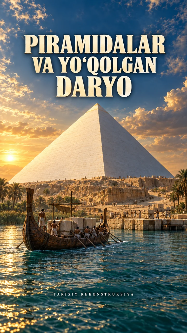
The white pyramid is an artistic reconstruction informed by surviving Tura casing stone. Boats, the harbour, people and buildings are studio-made 3D graphics. The cover is an AI-assisted artistic reconstruction. Music: “Ibn Al-Noor” by Kevin MacLeod.
The white-casing reveal is not a documented construction sequence. The cover is not a historical photograph. The music is trimmed and mixed at reduced volume; its author credit and CC BY 4.0 link are retained.
About the materials
Contains modified Copernicus Sentinel data (2026).
Produced using Copernicus WorldDEM-30 © DLR e.V. 2010–2014 and © Airbus Defence and Space GmbH 2014–2018 provided under COPERNICUS by the European Union and ESA; all rights reserved.
The organisations responsible for the Copernicus programme accept no liability for use of these data. This film is not endorsed by them.
Music: “Ibn Al-Noor” — Kevin MacLeod (incompetech.com), CC BY 4.0; trimmed and mixed at reduced volume. Sound effects and 3D graphics: Nmaga Bunaqa.
Found an error?
If you find a specific error or a better source, send us the claim and its link. We will review it and date any correction on this page.
Write to us on Instagram