On this page
Three key points
400 m is a run-up estimate, not flood depth.
The first SMS dispatch time is disputed; school times are approximate.
The goal of warning is getting people to safety.
From mountain to river
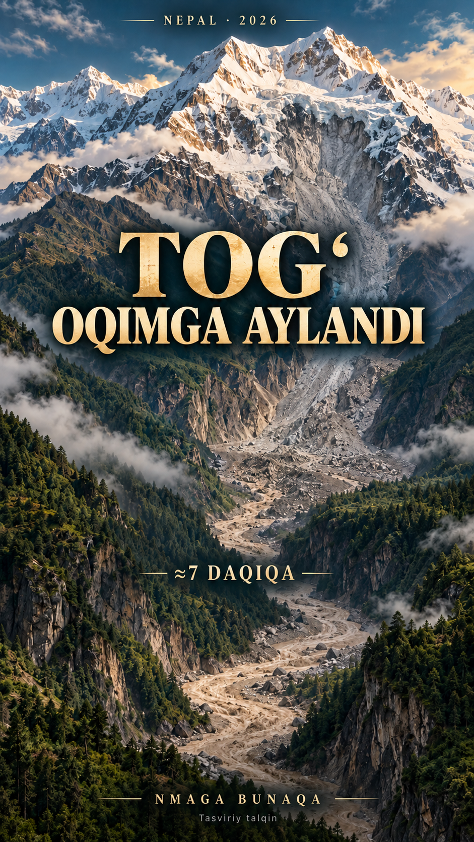
Rock and ice detached from the north face of Langtang Lirung on 26 August 2026. The seismic event was recorded at 02:52 UTC, about 08:37 in Nepal. A fall exceeding one kilometre led into a debris flow incorporating river water and loose material.
This does not establish a tectonic earthquake or a glacial-lake outburst. The film follows preliminary analysis; trigger details and possible temporary damming remain under study. ≈55 km is a rounded description of the ≈57.3 km separation between the event catalogue centre and Kakani station. The drawn scar location differs; this is not an exact route distance.
Real CCTV and the seven-minute interval
The first clip shows a camera clock around 10:59. Interpreting it as Beijing time gives about 08:44 in Nepal, a difference of 2 hours 15 minutes. That is roughly seven minutes after the 08:37 seismic event.
The clock was not independently calibrated. The second camera is not assigned a confirmed minute. Clips are cropped and muted; added effects are not original CCTV audio. This is an observed interval, not seven guaranteed usable minutes for verification, transmission and evacuation.
400 m means run-up, not depth
Preliminary analysis describes debris climbing roughly 400 m along a valley wall near the collapse. The 375 m TV tower is only a height comparison. The diagram illustrates a trace climbing the slope.
400 m is not flood depth throughout the valley. The relief profile samples kilometre 9.3 and is not a survey of the maximum run-up location. The tower is not in Nepal; placement is schematic.
Calls, SMS and 900 students
Mongabay reports calls to head teacher Rajendra Dawadi around 09:10 and the school being hit about ten minutes later. He moved the students uphill. An Associated Press interview corroborates evacuation of at least 900 students. One resident reported receiving the SMS around 09:54, alongside the flood. This is not a uniform receipt time for all recipients.
Statements put the first SMS dispatch at 09:15–09:16 or 09:35. Dispatch and reception differ; delays varied by location. The 900 figure refers to students, not a claim that all staff survived. The reported ≈09:20 arrival at Betravati is ≈43 minutes after onset, not a measured port-to-town transit time. ICIMOD notes conflicting clocks and interpretations.
From warning to action
The film returns to the school: an upstream call and the principal’s quick action. A seismic signal travels faster than the water, but detecting it alone is not an operational automatic warning system.
This is an explanatory film about Nepal in 2026, not a present emergency alert or hazard forecast for Uzbekistan. Animated movement and counters are not a scientific hazard model. The approximate seven-minute interval does not establish that a warning system had all seven minutes available or that everyone could have been rescued.
Data, images and music
Sentinel-2 imagery: 21 October 2025 and 28 September 2026, with some cloud gaps filled from the older layer. Terrain: AWS Terrain Tiles; rivers: OpenStreetMap. NK.KKN ground-motion data is sonified at 100× speed. The cover and tower drawing are AI visual interpretations.
The seismic sound is not an air microphone recording. Collapse motion and flow width are reconstructions. Commons labels the CCTV files PD-automated; author unknown, published by 响亮新闻 / resoundnews. That designation is not a universal legal determination.
About the materials
Contains modified Copernicus Sentinel data 2025–2026. Terrain: AWS Terrain Tiles / Tilezen (SRTM and other open sources). Rivers: © OpenStreetMap contributors, ODbL.
CCTV: author unknown; 响亮新闻 / resoundnews, Wikimedia Commons, PD-automated; cropped and muted. Seismic data: NK.KKN BHZ, EarthScope / FDSN; sonification at 100×.
Cover and tower: AI visual interpretation. Collapse and flow: data-informed diagrams. Music: Unanswered Questions by Kevin MacLeod (incompetech.com), CC BY 4.0.
Music
Found an error?
If you find a specific error or a better source, send us the claim and its link. We will review it and date any correction on this page.
Write to us on Instagram