On this page
Three key points
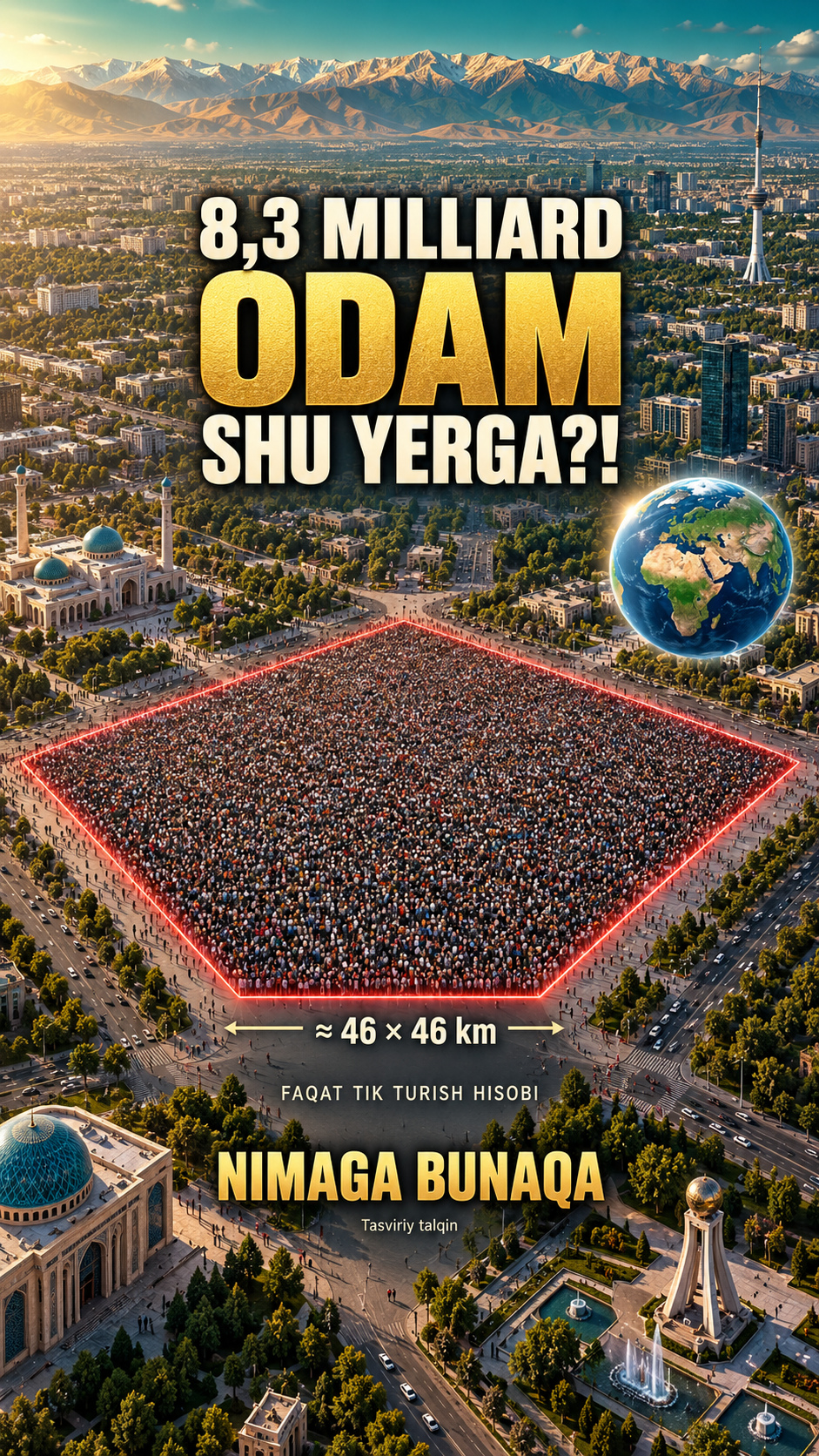
A ≈46 km square is only a standing calculation.
Densest areas are scattered cells summed together.
1900 m² is average cropland, not a food requirement.
What the standing calculation means
UN WPP 2024 projects 8,300,678,396 people worldwide in mid-2026. The film uses a rounded 8.3 billion. Assuming four standing people per m² gives 2,075 km², a square 45.55 km wide; ≈46 km is rounded.
This is not a housing plan or a crowd-safety capacity. Existing buildings, terrain and roads are not subtracted. The Tashkent square compares area; it is not claimed to fit within the region’s administrative borders.
Football and Uzbekistan
FIFA recommends a 105 × 68 m field of play, 7,140 m². At four people per m² the arithmetic gives 28,560 people, rounded to 28 thousand in speech. Uzbekistan had 38,236,704 residents on 1 January 2026; the same assumption gives 9.56 km² or a 3.09 km square.
This excludes stadium seating and does not calculate safe attendance. The land fraction is 2075 / 148,940,000 × 100 ≈ 0.0014%.
Population map: the densest cells
We used EU JRC GHS-POP R2023A, epoch 2025. This model uses WPP 2022, not the 2026 UN projection. Its total is 8,191,988,536. Sorting 1 km² cells by population until half is accumulated gives about 525 thousand km², ≈0.35% of land. The same method inside Uzbekistan gives 4,225 km², ≈0.94%.
The cells are scattered, not one contiguous territory. The 0.35% denominator includes Antarctica; excluding it gives ≈0.39%. Resolution and modeled borders affect the result. The grid models Uzbekistan at 35.93 million; only the share is compared. These percentages are our calculations, not pre-published JRC statistics.
Cropland is not a food requirement
FAO reports about 1.6 billion hectares of cropland in 2023, ≈16 million km². Dividing by the example’s 8.3 billion people gives ≈1,928 m², rounded to ≈1,900, about 27% of a 7,140 m² field. 1900 / 0.25 ≈7600. South America is 17.819 million km², so world cropland is about 90% of its area.
This is not the minimum land needed to feed someone. Feed and non-food crops can be included; pastures are excluded. The 2023 area and 2026 population are combined only for scale. Filling South America is an area diagram, not its actual cropland map.
Maps and images
The Tashkent zoom uses a mosaic of Copernicus Sentinel-2 September 2025 imagery. Globe relief uses NOAA ETOPO 2022; the inland-water mask uses NASA Blue Marble 2004 (NASA Earth Observatory / Reto Stöckli). Borders use Natural Earth. The original crowd photo is Tim Sheerman-Chase’s Victorious Festival photograph, 26 August 2022, CC BY 2.0. Illustrated people, fields and cover are AI artistic interpretations.
The festival photo does not establish four people per m²; it is an example of a crowd. It is cropped and animated. Squares, fields and area-based people counts are diagrams. Natural Earth does not establish legal borders.
Music and credits
Investigations by Kevin MacLeod (incompetech.com), CC BY 4.0, excerpted and level-adjusted. Effects are project-synthesized. Cinzel and Cormorant use SIL OFL.
Use of images and data does not imply endorsement. GHSL and adapted map data carry CC BY 4.0 attribution.
About the materials
GHS-POP: Schiavina, Freire, Carioli and MacManus, EU JRC 2023, CC BY 4.0; Contains modified Copernicus Sentinel data 2025. NOAA NCEI ETOPO 2022, DOI 10.25921/fd45-gt74, CC0; NASA Earth Observatory / Reto Stöckli, Blue Marble 2004 (inland-water mask). Crowd: Tim Sheerman-Chase, CC BY 2.0, cropped and animated. Investigations: Kevin MacLeod, CC BY 4.0. Drawings and cover: AI artistic interpretation.
Music
Found an error?
If you find a specific error or a better source, send us the claim and its link. We will review it and date any correction on this page.
Write to us on Instagram