On this page
Three key points
Three wars had different aims and circumstances.
Foreign withdrawal did not immediately end the war.
Taking a capital and building lasting peace are different tasks.
1839–1842: Britain and Kabul
Britain intervened to protect its Indian interests and restored Shah Shuja in 1839. Following a revolt, the January 1842 retreat from Kabul ended in catastrophe amid attacks and winter conditions.
This concerns the First Anglo-Afghan War, not all British campaigns. The force included Indian troops. The film does not repeat the sole-survivor myth.
1979–1989: Soviet intervention and withdrawal
Soviet troops entered to preserve an allied government. Defending garrisons, cities and supply routes formed part of the war. The mujahideen received external assistance through Pakistan. A political decision and agreements led to withdrawal, completed on 15 February 1989.
The Termez bridge illustrates the 1989 exit, not the 1979 entry. Nine years is rounded. Animated bases and attacks are not an exact inventory or operational map.
War continued after withdrawal
UNHCR’s 1999 historical briefing documents the displacement of millions of Afghans. The UN history records continued war after 1989, the change of government in 1992 and the Taliban capture of Kabul in September 1996.
The short film compresses the intervening years. Soviet withdrawal and the Taliban capture did not happen together. Displacement is a historical statement, not today’s refugee total.
2001–2021: military and political objectives
After 9/11, US-led forces entered and overthrew the Taliban government. SIGAR’s 2021 lessons report examines the later state-building effort. The Taliban recaptured Kabul on 15 August 2021; the last US troops left on 30 August.
The US-led 2001 operation is distinct from NATO’s ISAF leadership beginning in 2003. Almost twenty years refers to 2001–2021. These wars had different aims and circumstances.
Nickname, maps and illustrations
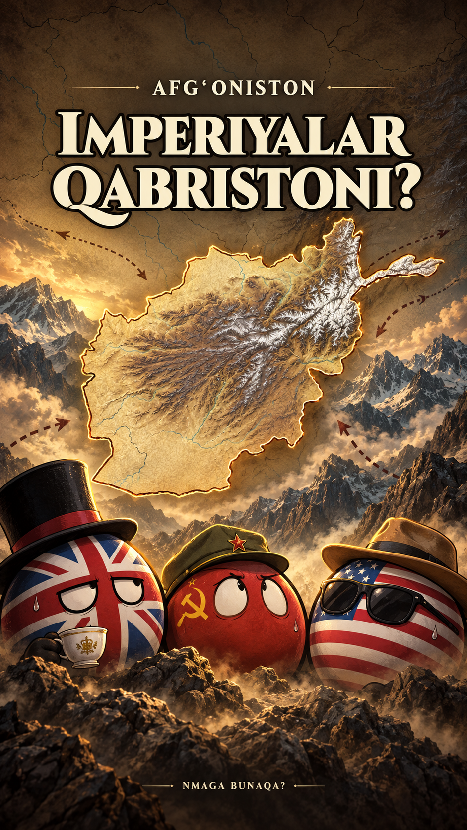
“Graveyard of empires” is a nickname questioned by the film. “Military victory alone does not create peace” is editorial synthesis, not a historian’s quotation. The map uses Natural Earth and Mapzen/Terrarium elevation tiles.
Modern boundaries provide orientation, not a political map of 1839 or 1979. Routes, bases, blasts and aircraft are schematic. Countryball faces, dialogue and the manual are fictional. The AI cover is an illustration, not archival evidence or a surveyed map. The ending wishes for peace; it does not claim peace has been achieved.
About the materials
Terrain: Mapzen/Terrarium; global GMTED2010 and SRTM data courtesy of the U.S. Geological Survey; ETOPO1 from NOAA. Relief is recoloured and rivers computed schematically.
Boundaries and coasts: Natural Earth, public domain. Fonts: Cinzel and Barlow, SIL OFL.
Animation, musical ambience and synthesized effects: Nmaga Bunaqa. Cover: AI illustration.
Found an error?
If you find a specific error or a better source, send us the claim and its link. We will review it and date any correction on this page.
Write to us on Instagram