On this page
Three key points
45 days refers to the main excavation.
Machinery was used; roughly 90% of the soil was excavated by hand.
The limits of archive and modern imagery are stated openly.
270 kilometres, 45 days
O‘zarxiv reports 270 km, 180,000 workers and farmers, and 1.7 million of 17 million cubic metres excavated mechanically.
45 days refers to the main excavation. Approximately 90% is a soil-volume share. Workforce estimates vary; the film uses O‘zarxiv’s figure.
Labour and memory
UzA’s interview with historian Muhayyo Sirojiddinova covers cotton and water demand, the 2 m³ quota, Salimaxon’s recollection and food rather than wages for ordinary workers and farmers.
Engineers and specialists were paid. The recollection is paraphrased; the photographed woman is unidentified. 2×1×1 m illustrates volume.
Excavating simultaneously
Novy Mir, January 1940, pages 195–196, describes brigades working on their sections and helping neighbouring sections.
This is a Soviet-era publication. The four coloured spans are explanatory, not a claim about the actual number or location of work sites.
Rivers and today’s route
Connections with the Naryn and Qoradaryo were checked against the Meros reference and map layers. Canal, rivers and towns: OpenStreetMap. Imagery: Copernicus Sentinel-2 (2025).
Meros is an encyclopedic summary, not a primary archival document. Today’s route is not an exact 1939 survey; missing joins are dashed. Shahrixon, Oltiariq and Rishton are shown as nearby towns.
Archive, present day and cover
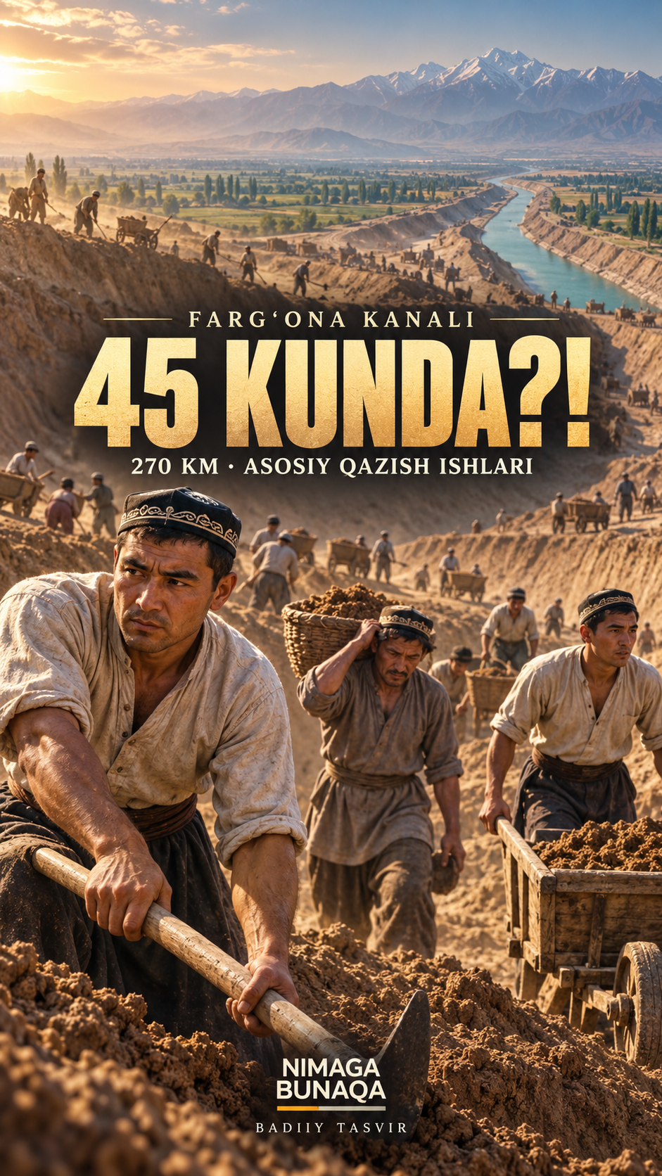
Archive photographs: Fergana Regional State Archive (O‘zarxiv article) and the state-archive collection published by UzA and reproduced by Kun.uz. Publication sources: O‘zarxiv, UzA and Kun.uz. Modern images: Bekipediya (CC0) and Aqsaqal-from-Andijan (CC BY 4.0). The cover is an AI-assisted illustration.
The source pages do not identify individual photographers. Archive/publisher attribution does not identify the photographer or establish reuse rights. Photographs are graded and reframed; the historical and modern images show different places. The cover is not historical evidence.
Music, effects and fonts
Desert City — Kevin MacLeod, CC BY 4.0. The music is edited and mixed at lower volume. Effects are synthesized in-house. Fonts: Big Shoulders Display and Special Elite.
The effects are not authentic recordings from 1939. Author and licence links are retained.
About the materials
© OpenStreetMap contributors, ODbL. Contains modified Copernicus Sentinel data (2025).
Desert City — Kevin MacLeod (incompetech.com), CC BY 4.0. Edited and mixed.
Bekipediya / Wikimedia Commons, CC0. Aqsaqal-from-Andijan / Wikimedia Commons, CC BY 4.0.
Found an error?
If you find a specific error or a better source, send us the claim and its link. We will review it and date any correction on this page.
Write to us on Instagram